I wanted to map a journey for the set project Making Sense. I decided to map my errands because this was a mundane task near to where I live.
My first idea had been to map journeys I regularly took in the past. The problem with this, is I would have to travel further to get close to the subject. (Mapping from memory would likely prove inaccurate.)
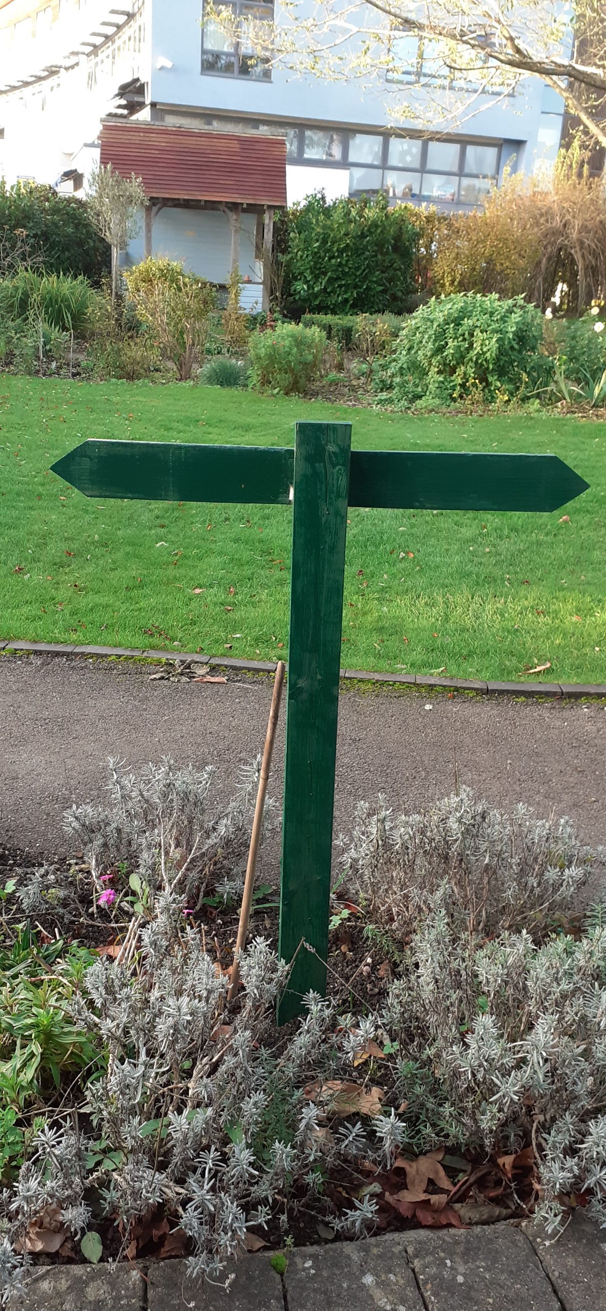
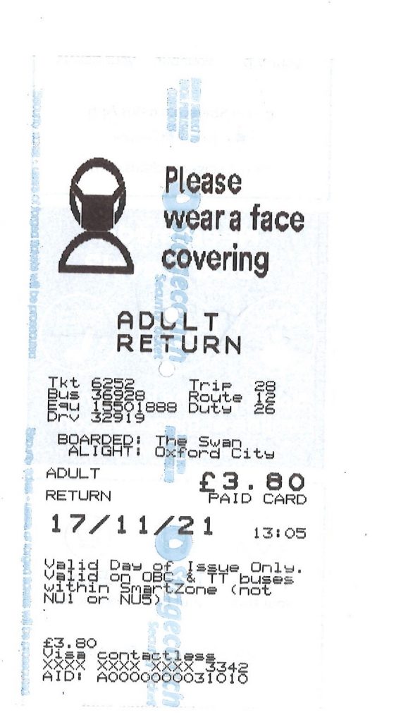
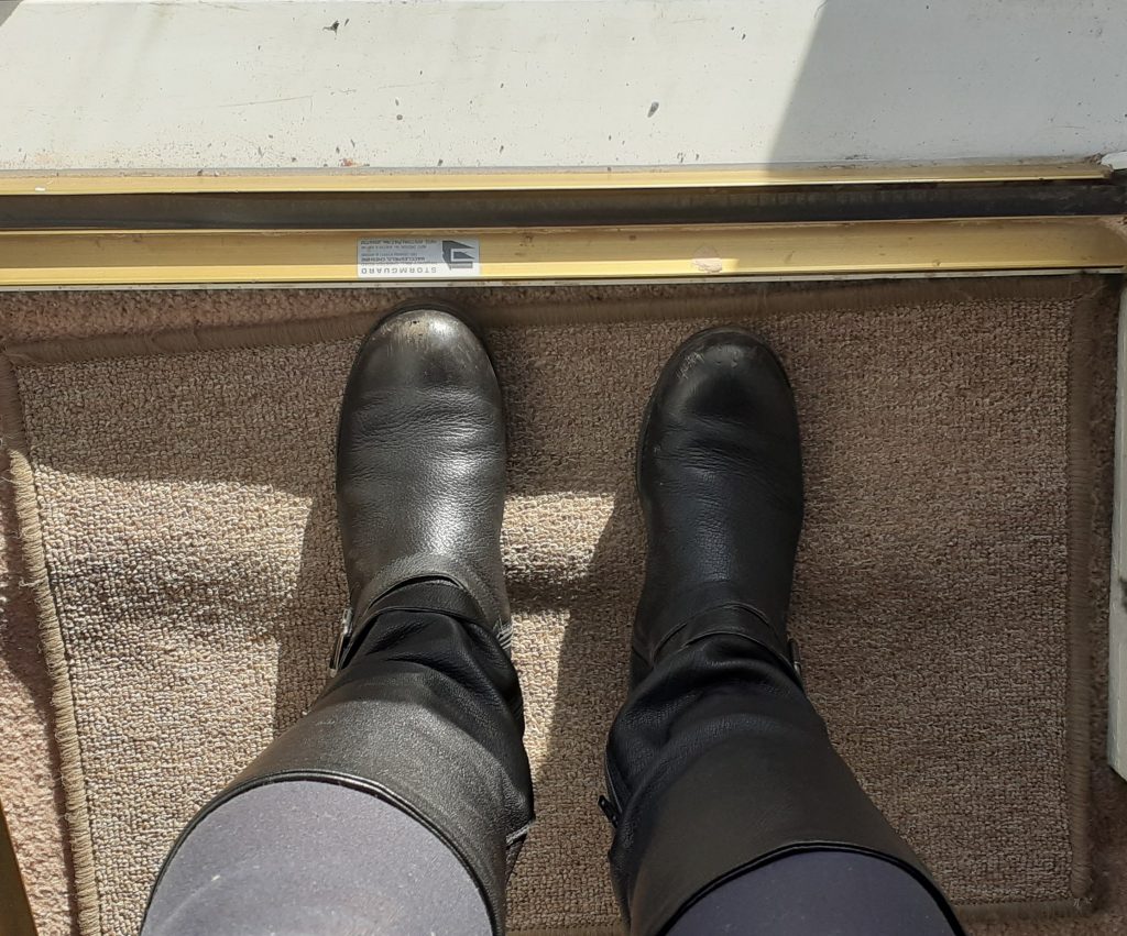
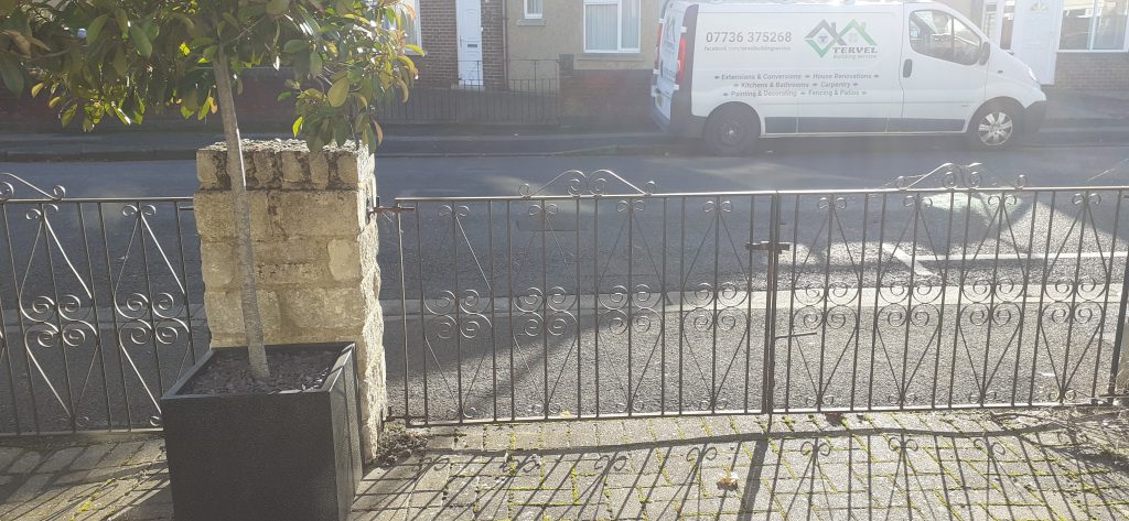
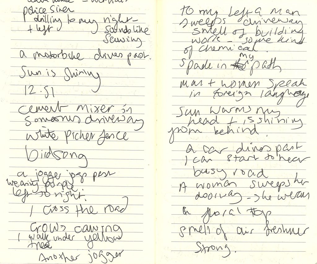
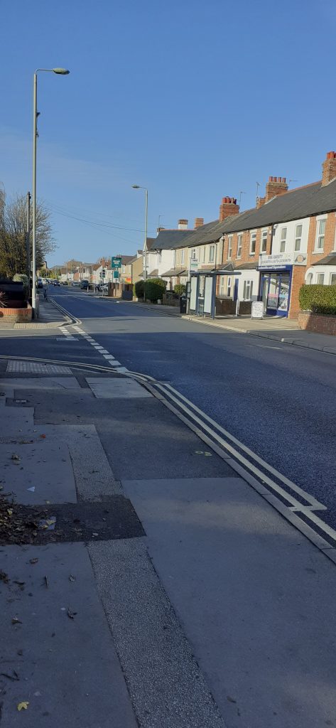
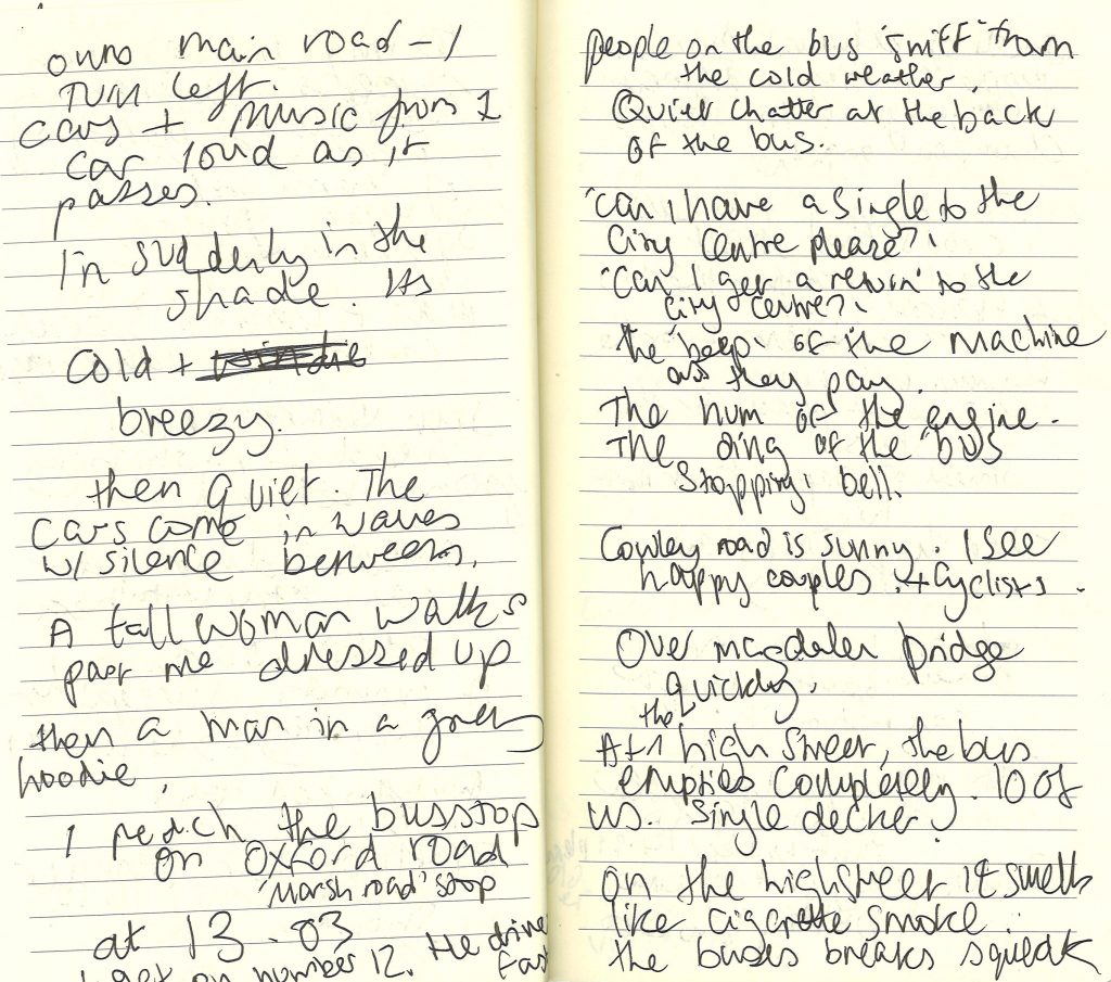
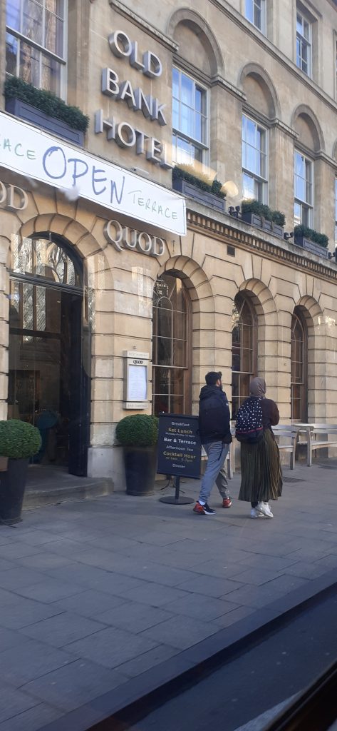
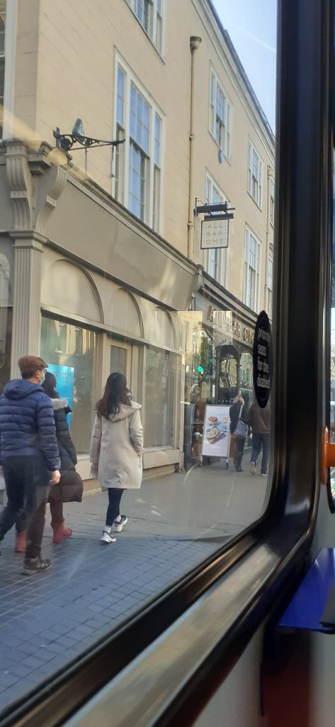
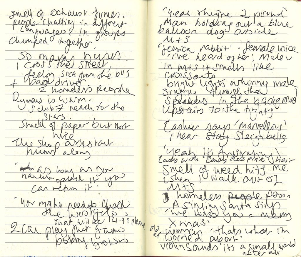
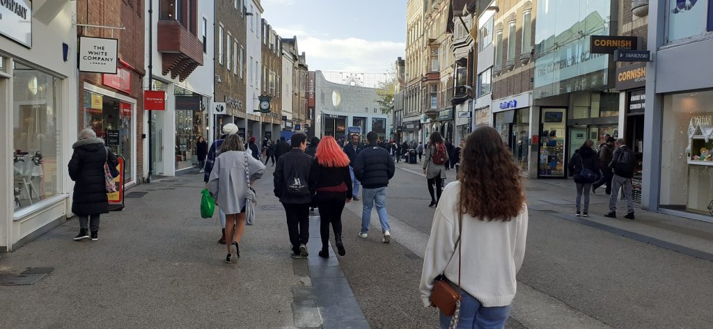
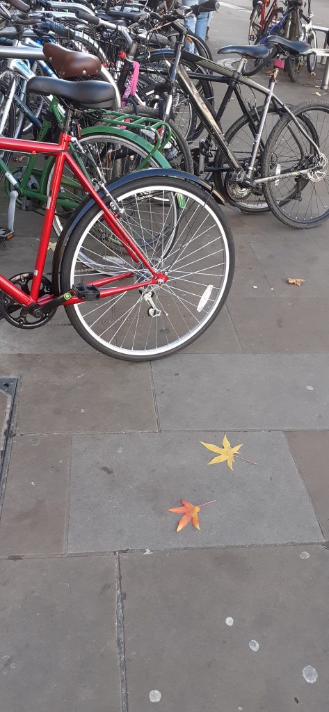
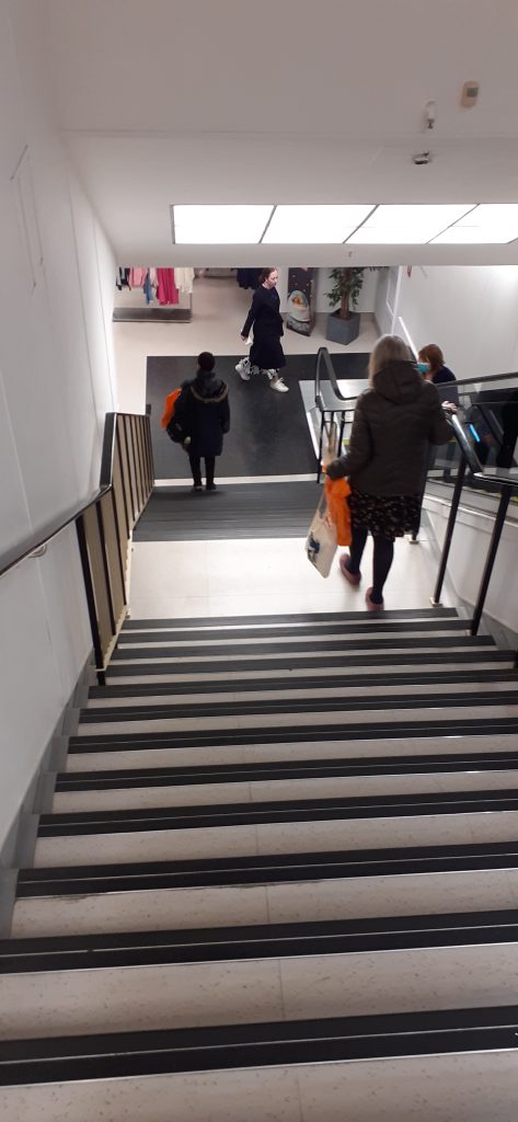
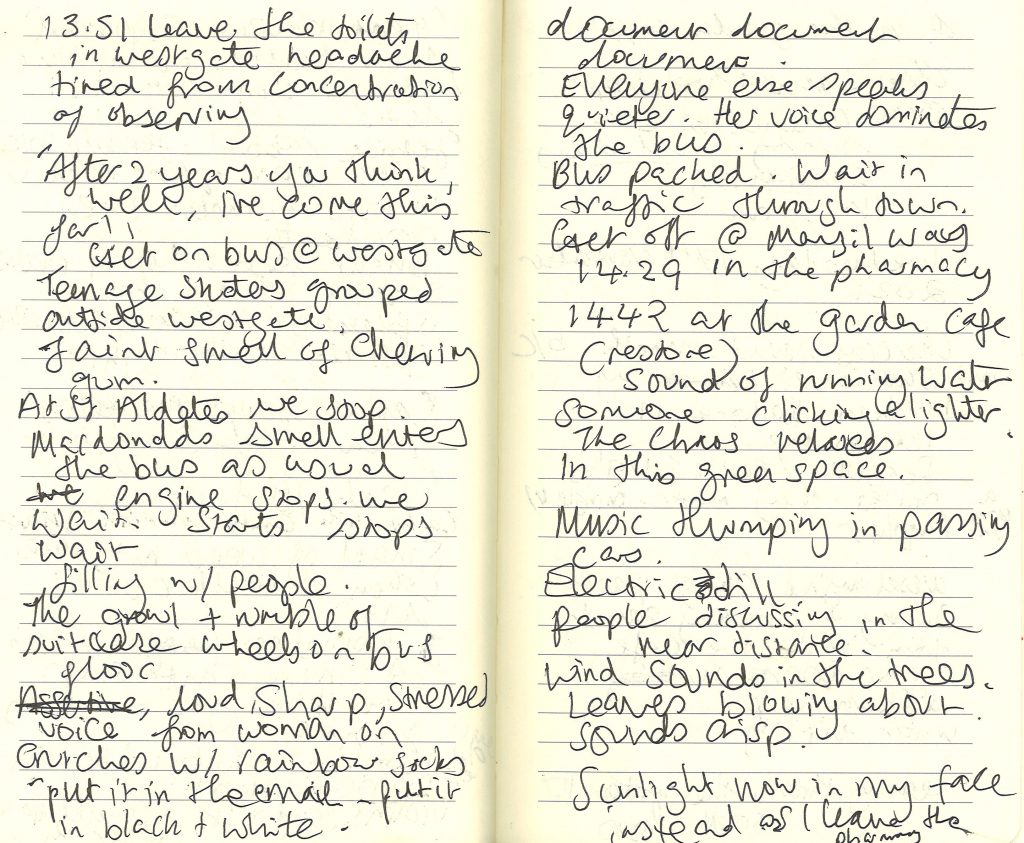
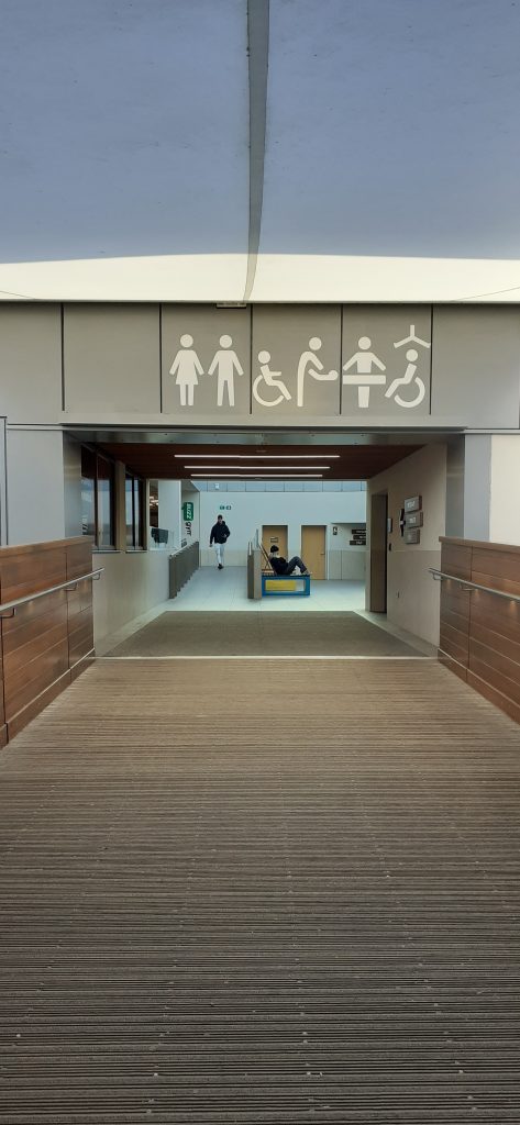
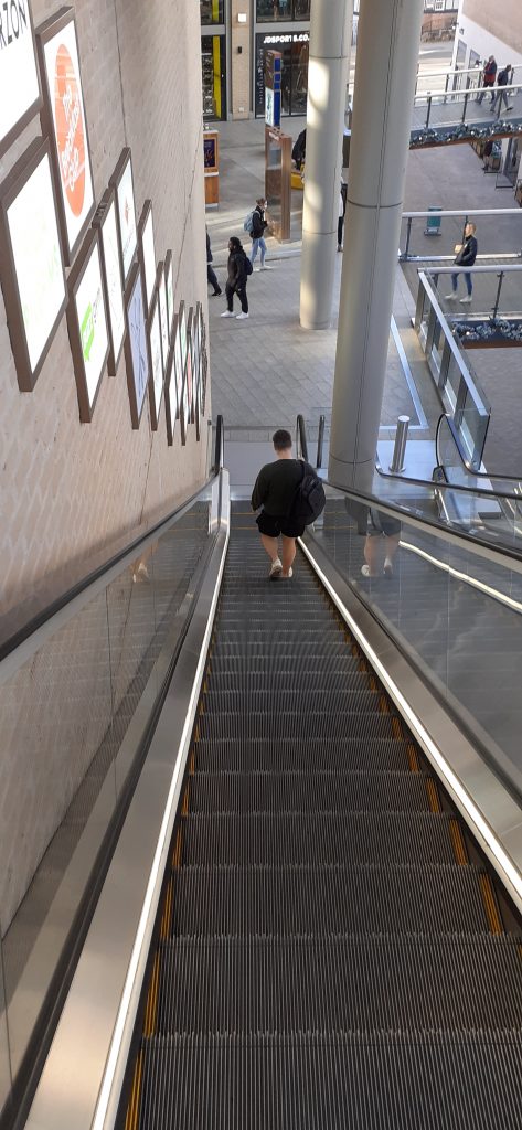
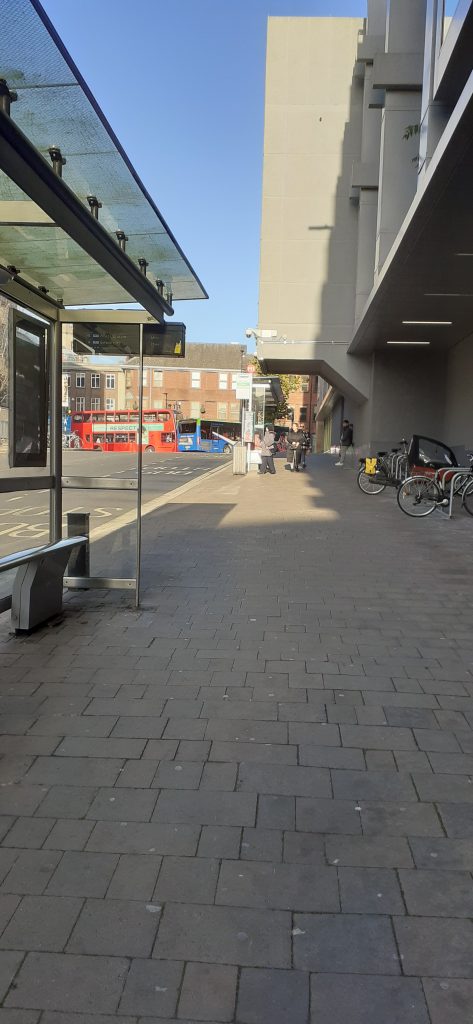
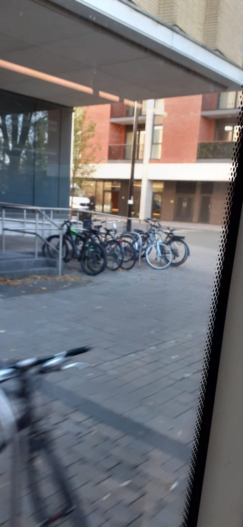
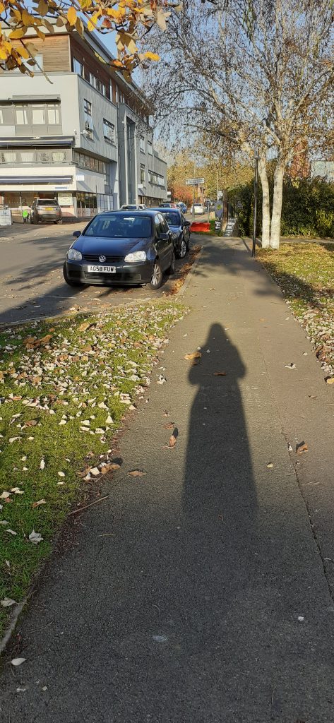
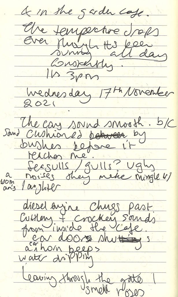
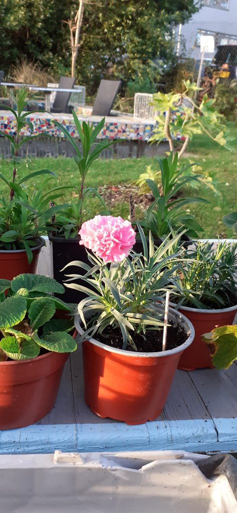
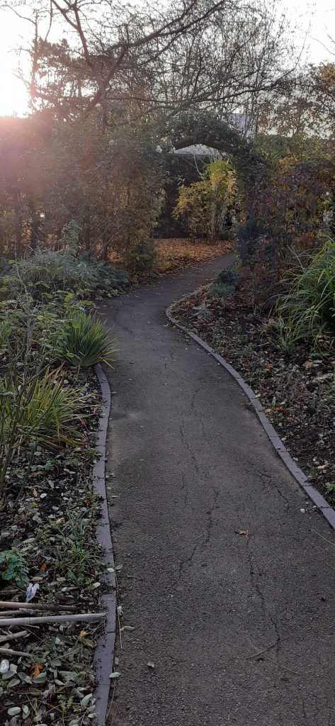
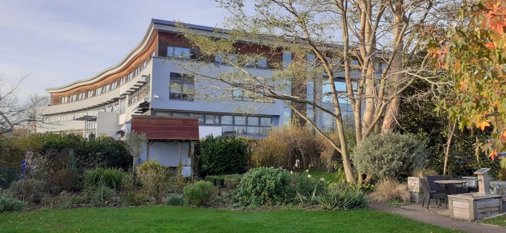
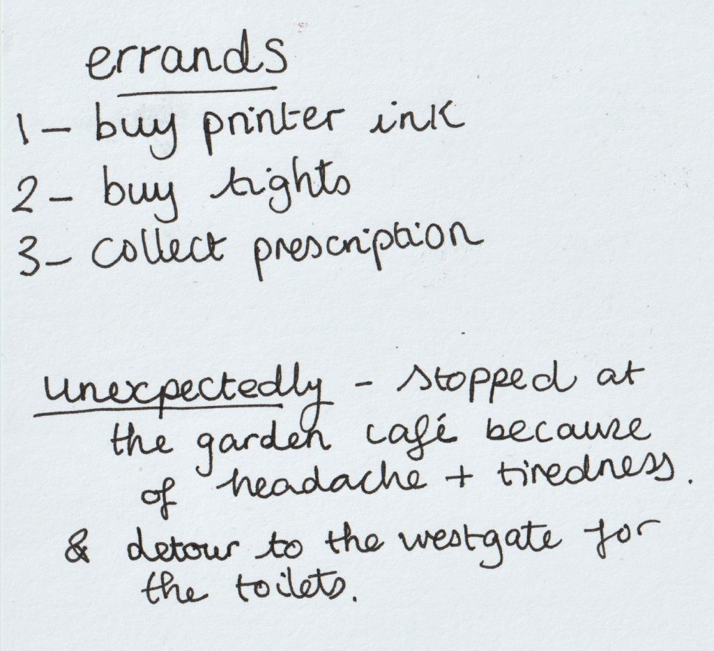
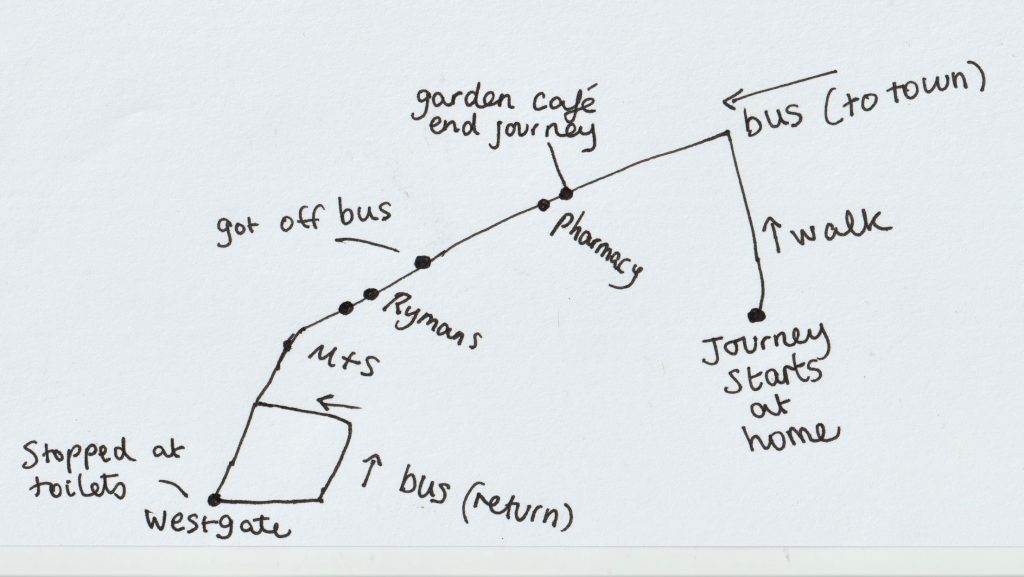
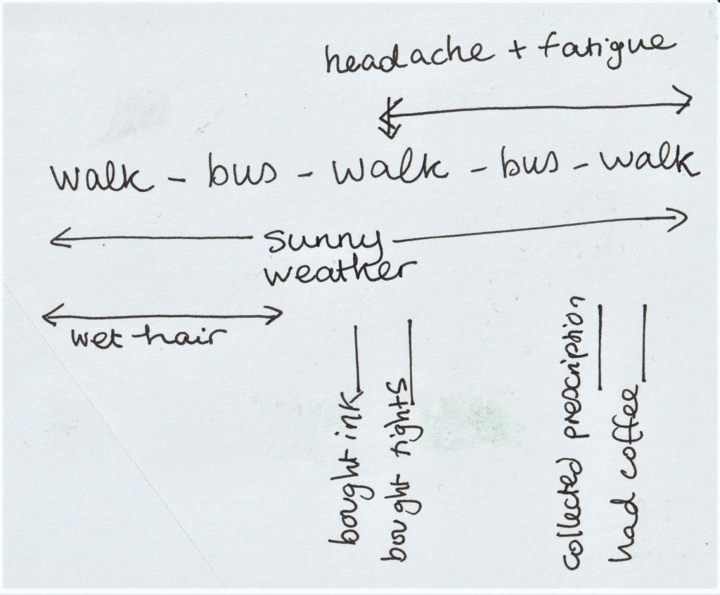
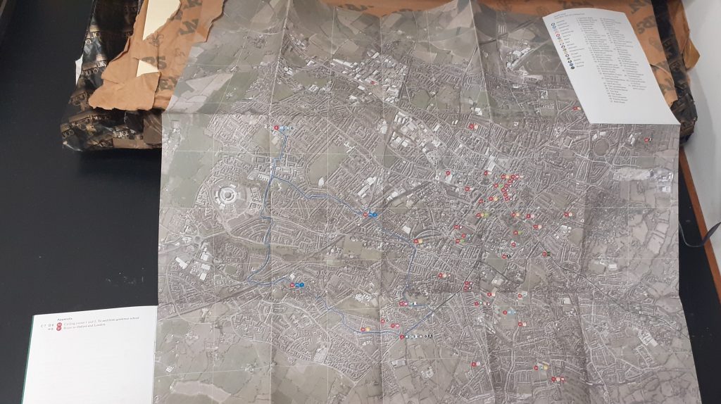
On Wednesday 17th November 2021, I went on a journey for errands in Oxford.
To document my experience, I took notes in my notebook of the sounds, smells, sights and my route. I took photographs that I found interesting, that I felt said something or showed where I was. I imagined I was tying to show the way to someone who needed to follow the same journey and maybe doesn’t know the area.
I started the journey from my doorstep
When writing, I focused on the facts and details. This was an interesting experience for me because when usually on errands, I am either letting my thoughts drift or putting my opinion on everything I see.
Taking the journey in this way, felt mindful and freeing. I felt this exercise would be a good exercise for creative writing.
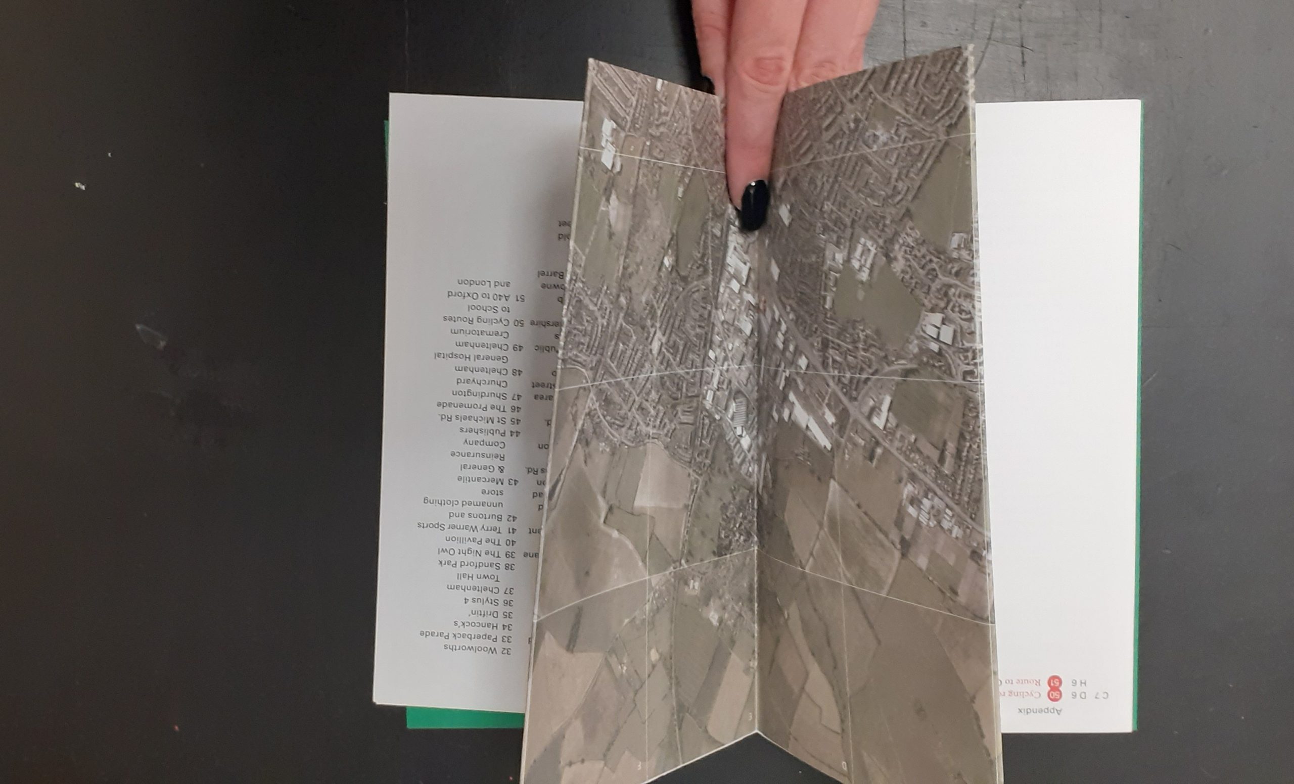
I researched the physical formats for map making by looking at maps in the flesh.
I remembered the collection Ruth showed us in our bookbinding workshop about maps. I visited the collection in the Richard Hamilton Building this week and took a few photos of some interesting aspects.
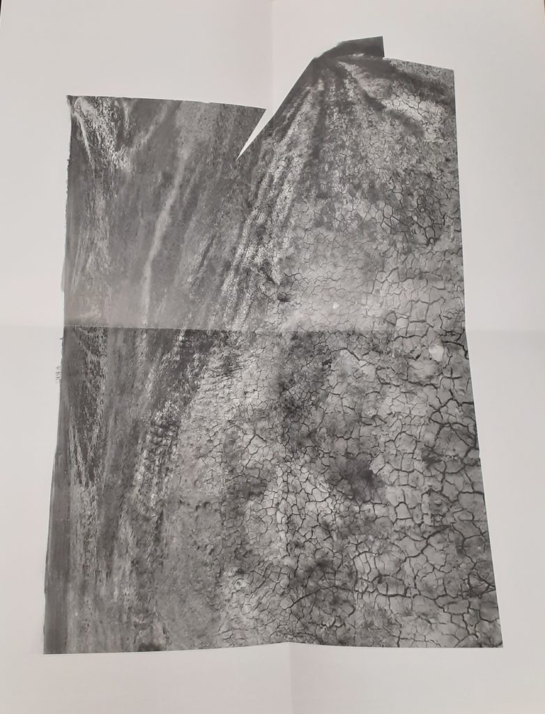
I didn’t photograph one map where the designer included graffiti and dog poo on their map of an area. It is the designer’s choice what they include in the map and what they want to direct the reader to.
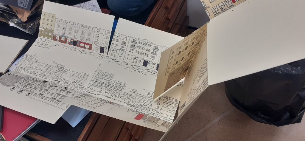
This map opens out lengthways and shows us 2 sides of a street. The centre of the map represents the road itself. They have used words to tell us information such as who lives in the building and events that have happened. The map was not in English, so I could not understand exactly what it was telling me, but even so, I could guess a lot from the way it is visually expressed. As the reader, it feels like you are walking down the road.
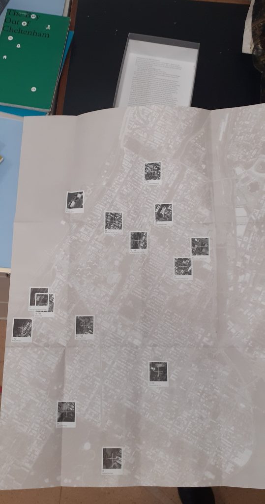
Another map that caught my attention is one made up purely of photos. The designer has taken a series of photos at one location and pieces the images together to create a picture of the place. This reminded me of David Hockney’s approach, but the photos here are made to look seamless. This technique means that we are given more information than could be captured in a single photo of a place.
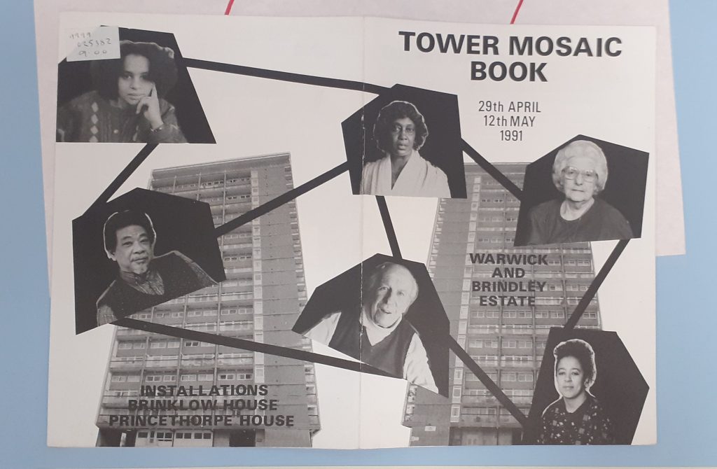
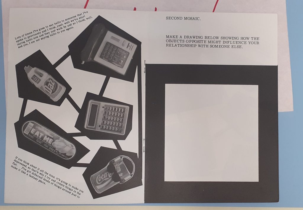
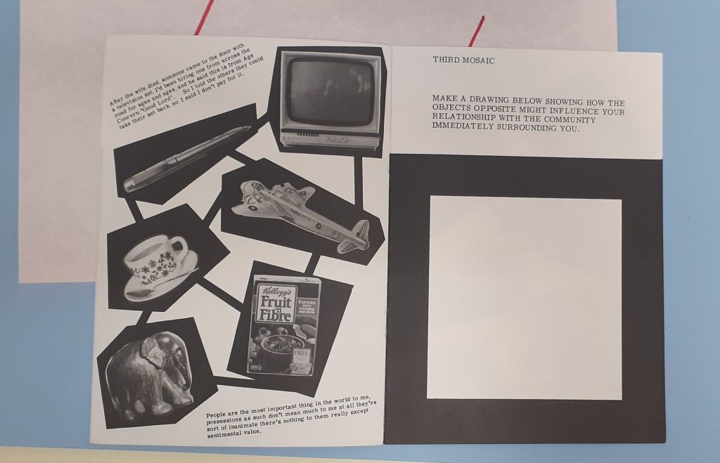
Stephen Willats
Amongst the collection of maps, I found this booklet by Stephen Willats, whose work I have looked at previously. The Tower Mosaic Book maps together the residents of the building. Because of the boldness, the map is easy to read.
The quotes on the left page above, have distinctive voices, without needing to change the typeface.He presents different objects from the building. As a viewer, I wonder about the choice of objects. I can see they are the people’s possessions because they are everyday objects.
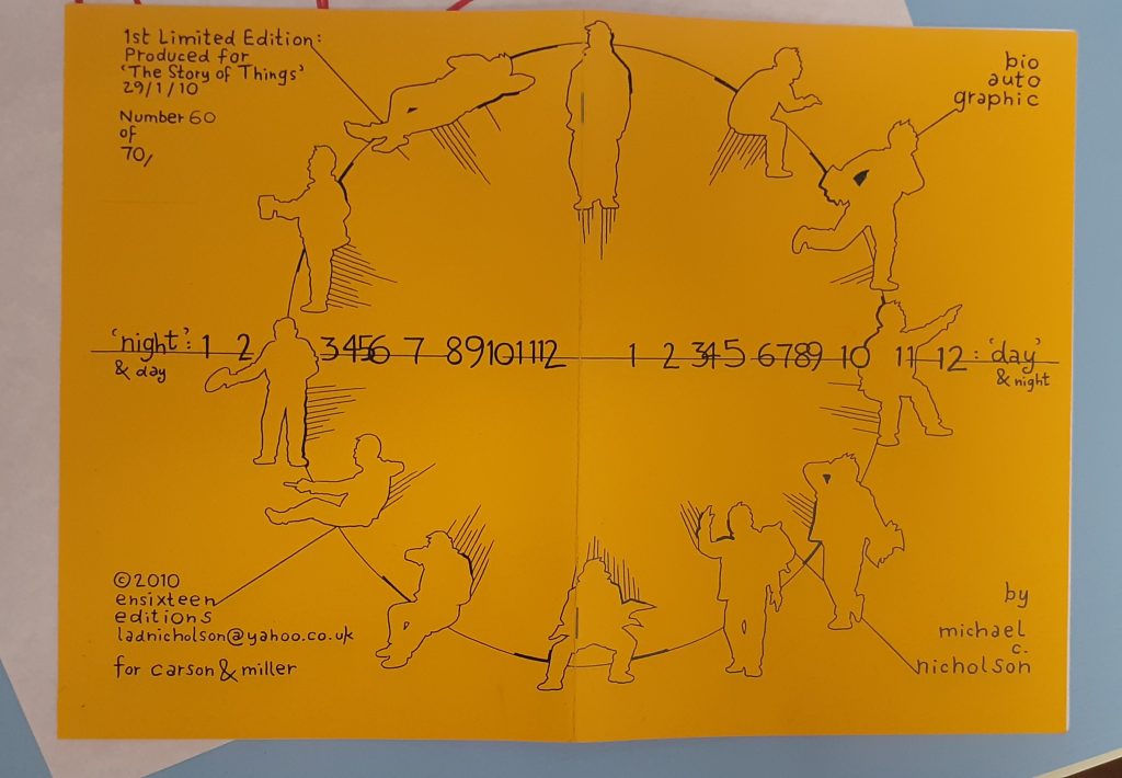
Michael C. Nicholson
Nicholson maps his day in this booklet. The horizontal line represents the hours in the day and the silhouettes signify different activities. The way they are positioned remind me of a clock face and therefore the viewer sees a clock even before reading the text.
The horizontal line continues across the booklet. This helps the work to look cohesive and part of the same narrative.
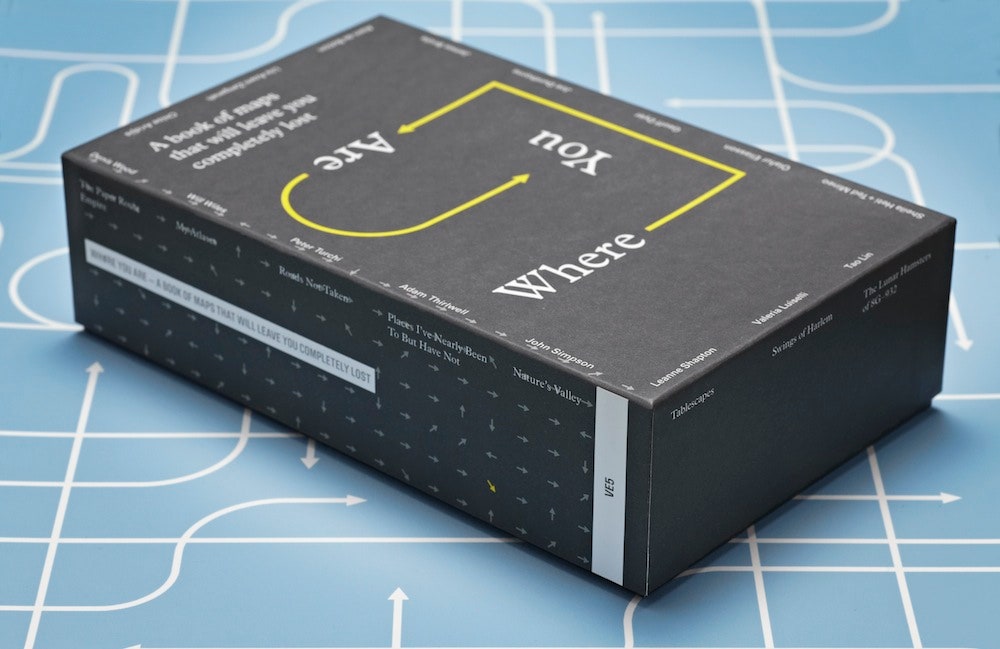
‘Where You Are is a book of 16 maps created by writers, artists and thinkers.’
‘We’re constantly mapping our lives, even if we don’t realize it. The emails we send, the restaurants we Google, the buses we take, the status updates we post —all of this is a way to track where we’ve been, what we’ve done and what’s important to us. ‘
I looked at this collection and include some of the maps here:
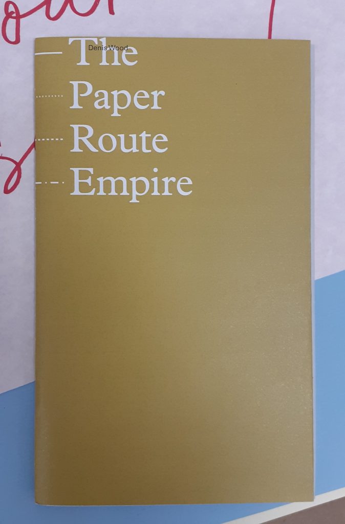
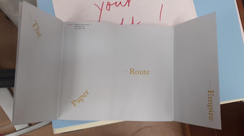
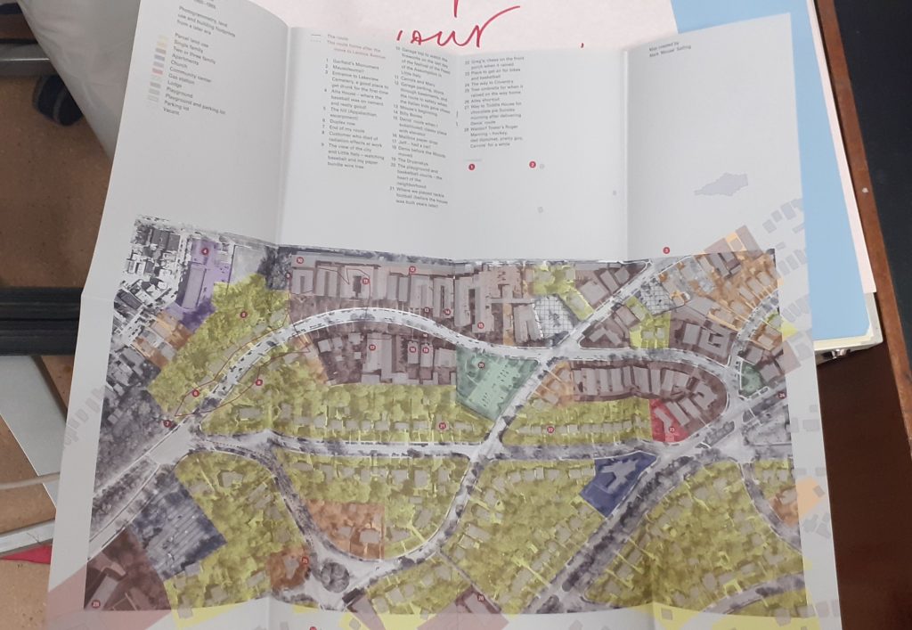
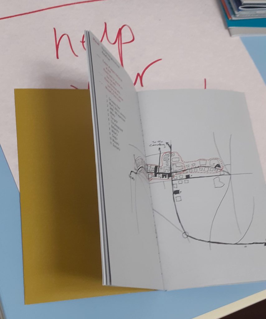
Denis Wood
front cover
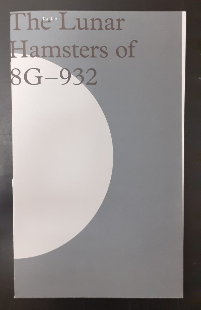
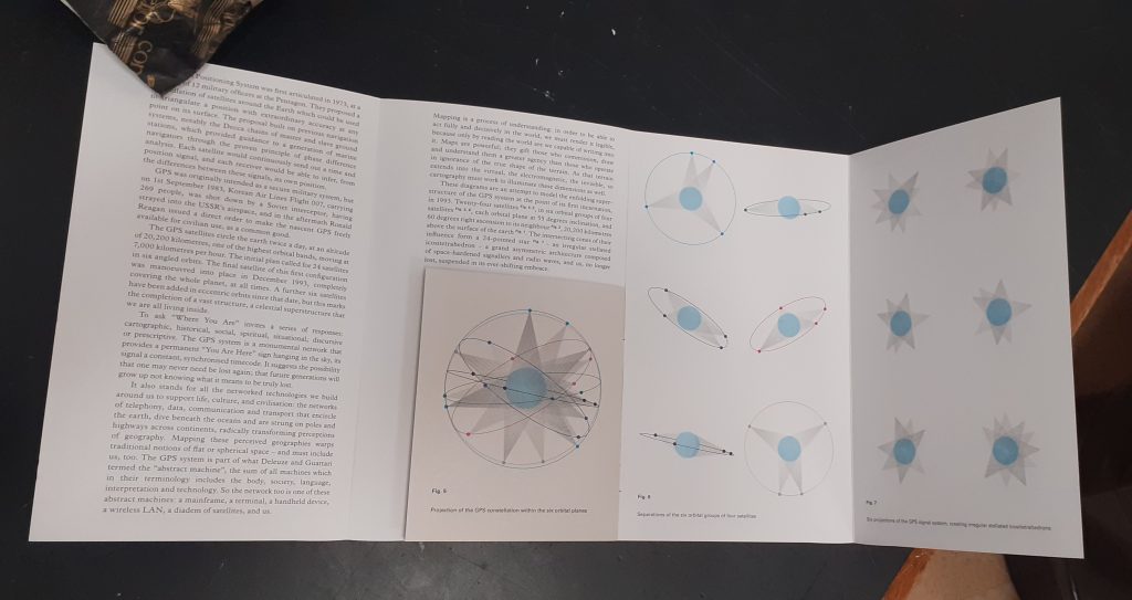
Tao Lin
front cover
Tao Lin maps outer space in answer to the question ‘Where are you?’
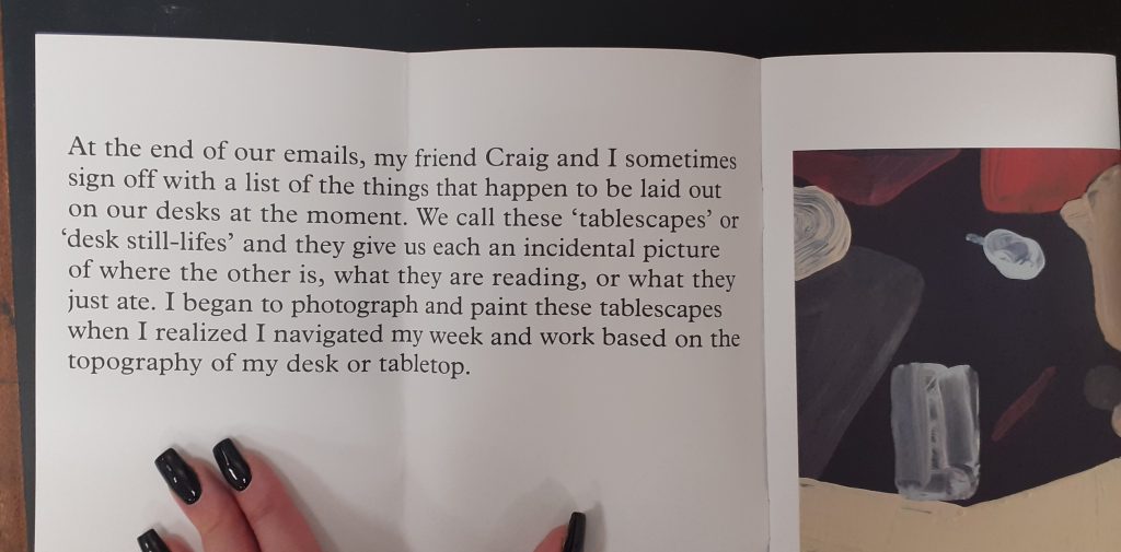
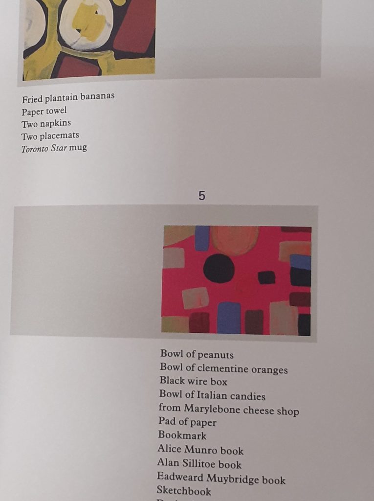
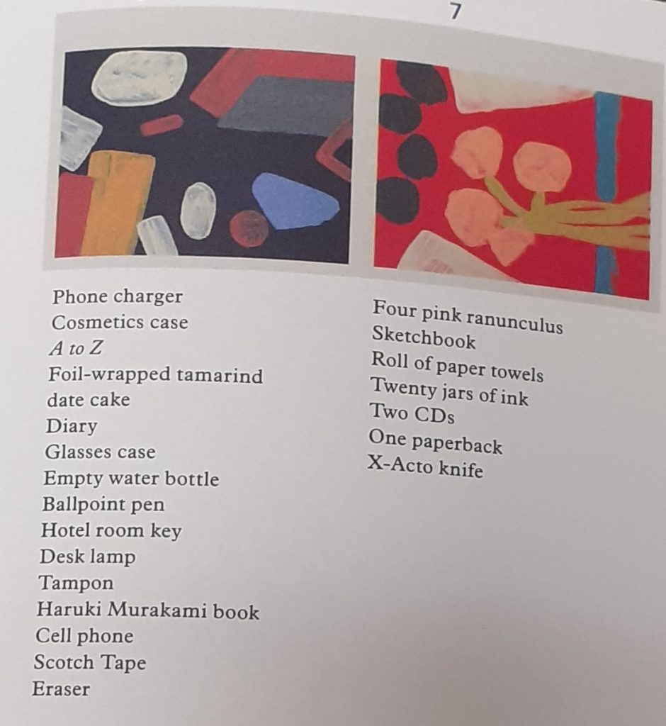
Leanne Shapton
front cover
Tablescapes is about the literal space around you in your day to day living. A desk is multi-functional. It’s a table you sometimes work at, sometimes eat at and use to store objects you may need to use in the near future.
The artist has interpreted her surroundings in the medium of paint. This key translates the shapes we see in her paintings, making it a map. Without this key, they would simply be paintings.
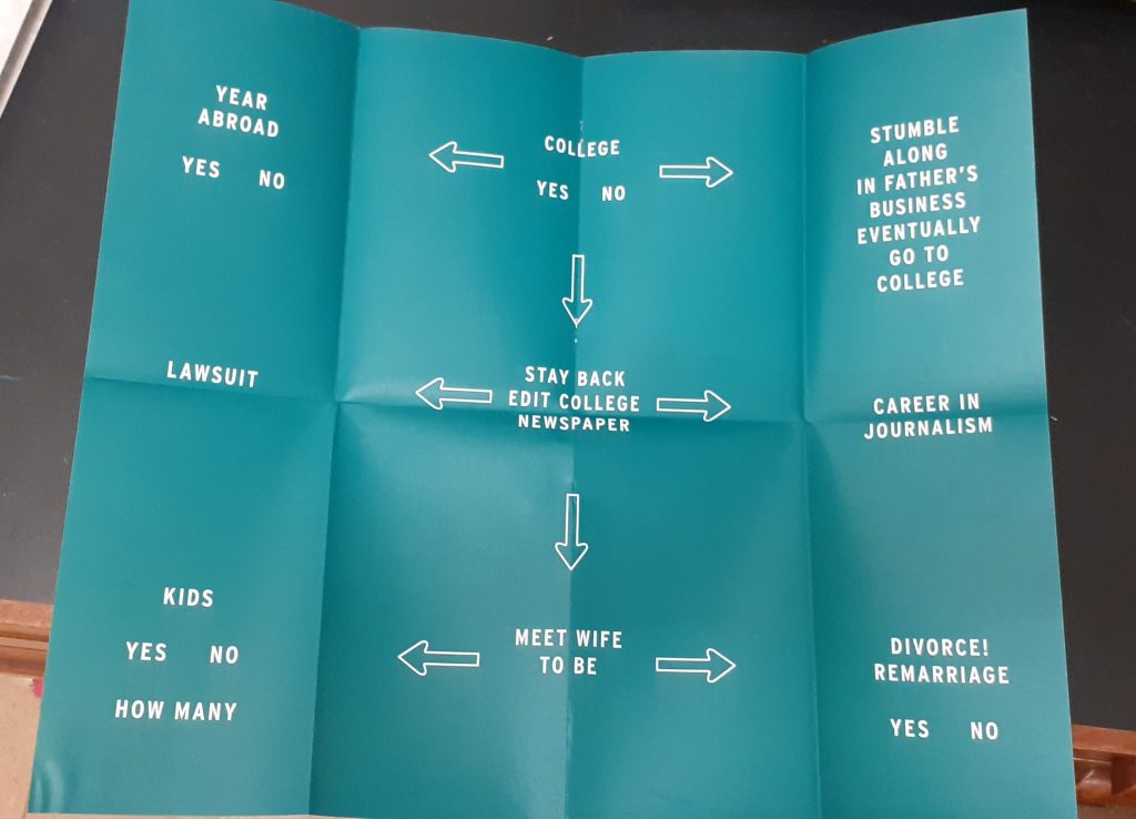
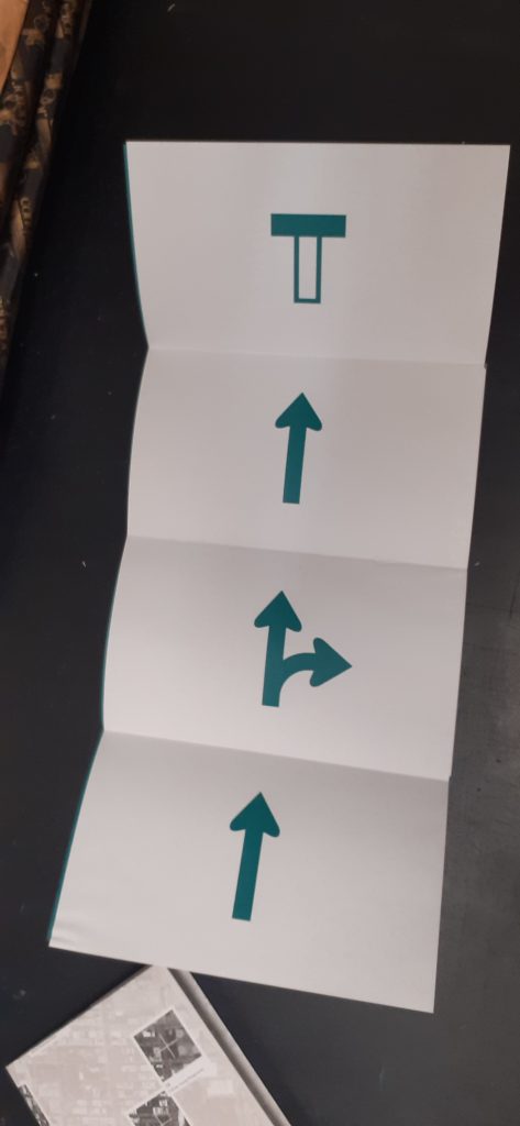
Peter Turchi
front cover
This designer thinks about different paths he could have taken in his life. The flow chart style reminds me of the quizzes found in magazines when I was a child.
He uses road signs that are recognisable to the viewer.
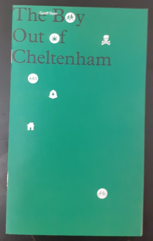
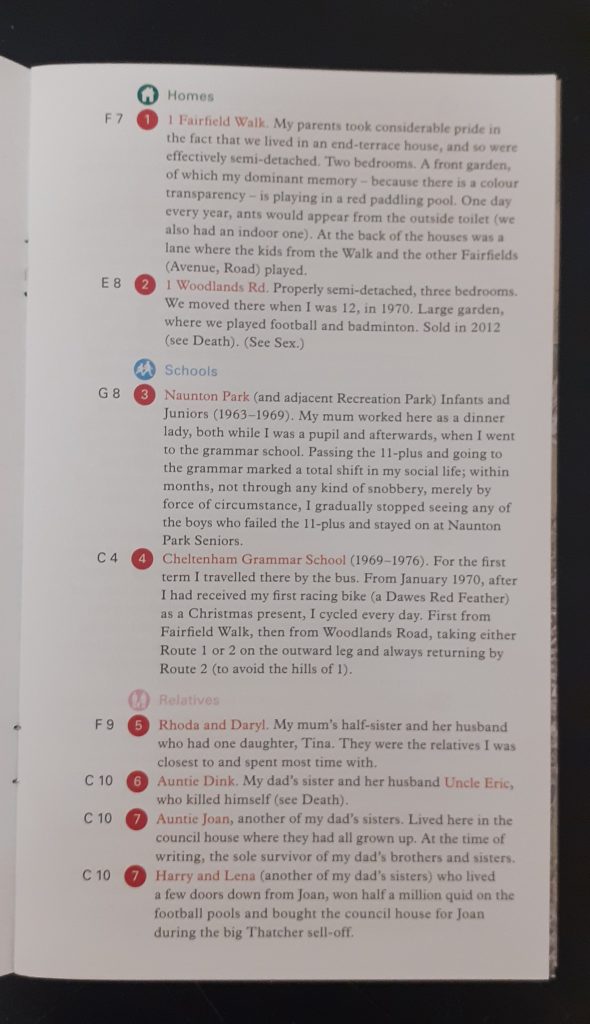
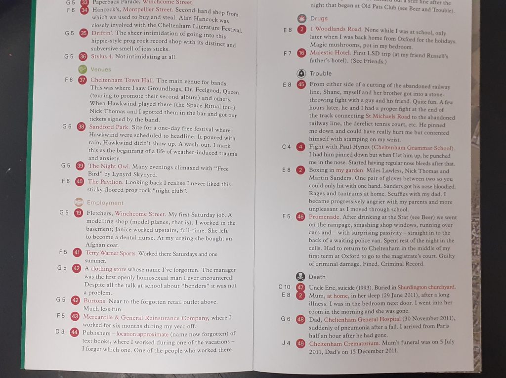
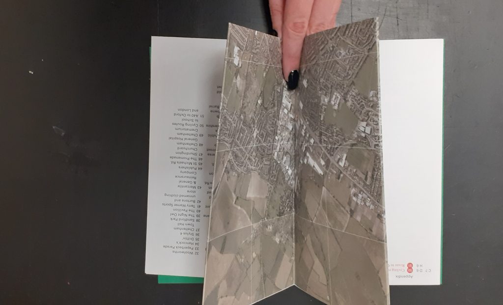
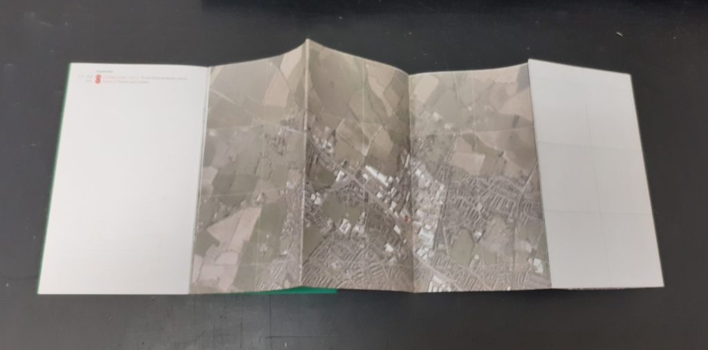
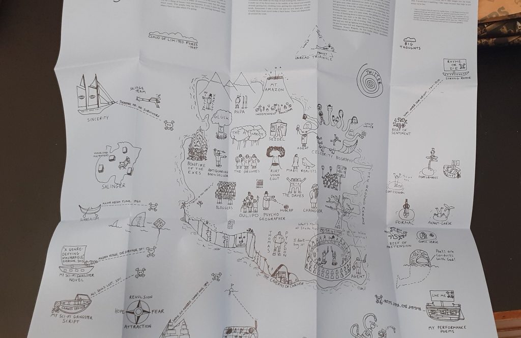
Geoff Dyer
This map folds out to show the designer’s home town. He has marked areas that have personal significance to him. I like the depth of detail in this map and the way it is possible to get lost amongst it.
Joe Dunthorne
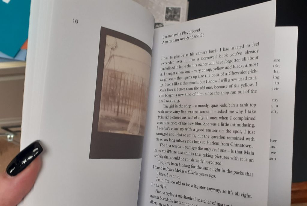
Ghost Pots relates to his experience as a writer.
Here, the designer uses illustrations to draw a map of an imaginary place. ‘A literary landscape.’
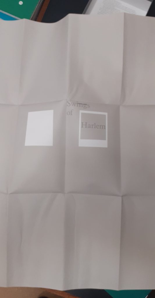
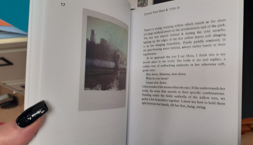
Valeria Luiselli
Swings of Harlem marks the swings the author remembers from childhood.
The map folds into the front cover. Her map was unique in the way that she made a large folded map separate to the rest of the work. There is a booklet that comes with the map to add context to the images.
In the booklet, she shares her memories and thoughts about each swing. She includes photos from her personal collection. This gives the map an authentic feeling.
After being given the brief, I wanted to learn more about how information can be mapped and exactly what a map is. I wanted inspiration for my final map and looked at the following books.
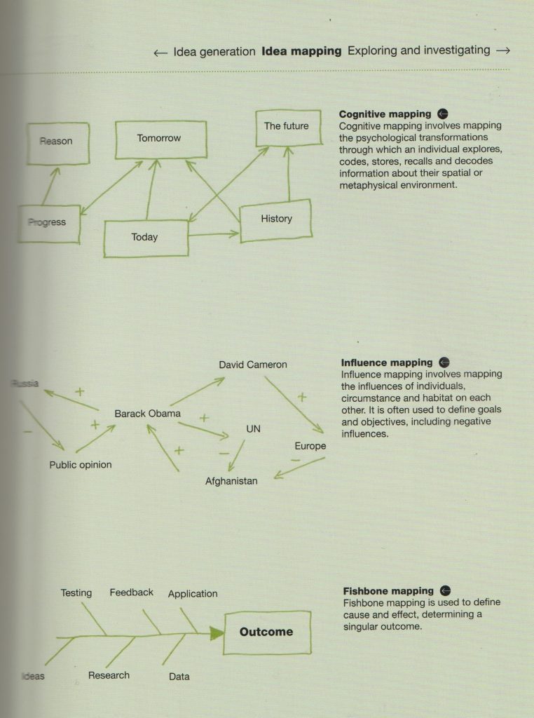
Idea Generation by Neil Leonard
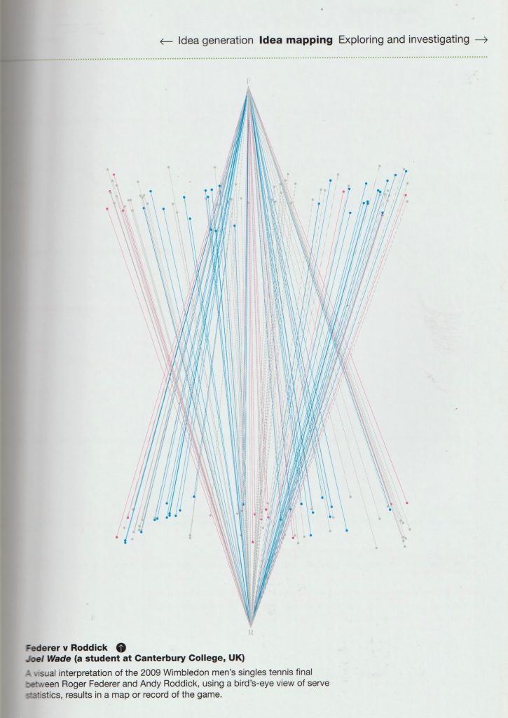
mapping physical space and movements.
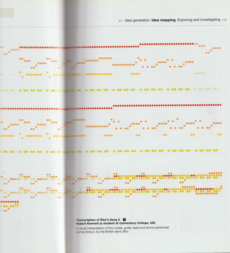
mapping instruments in a song.
A Century of Graphic Design by Jeremy Aynsley
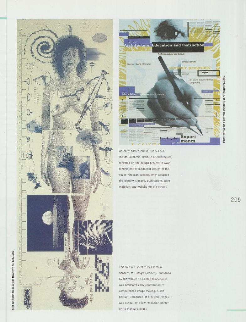
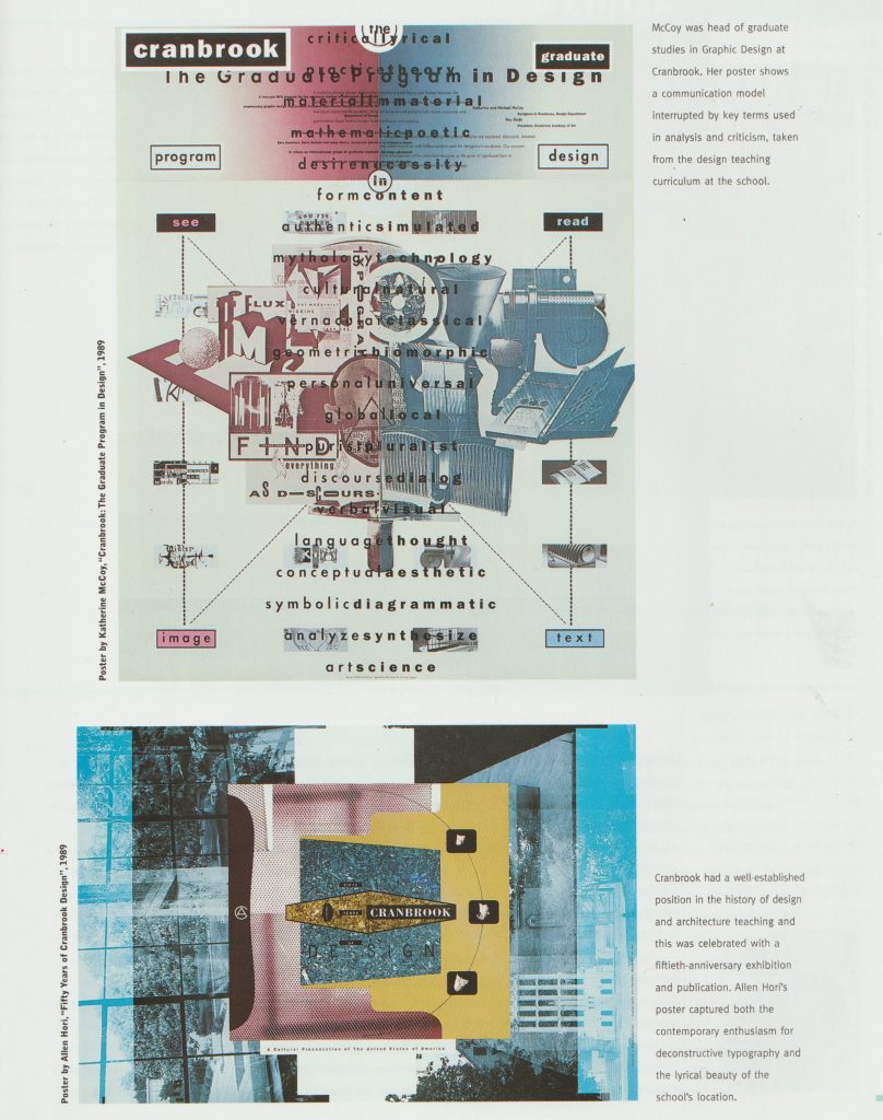
self portrait that maps information about the person.words, symbols and connecting lines.the position and order of the words creates a map in this poster. The boxes and lines help direct the reader.
Design Literacy by Steven Heller
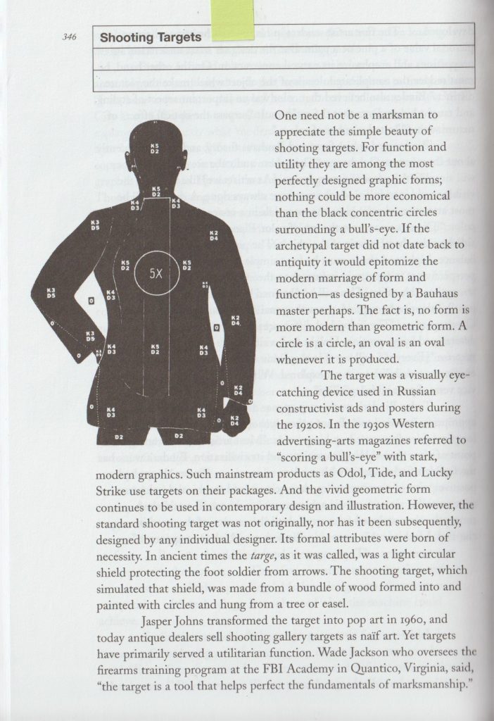
Shooting targets are a map of a body for the person to aim at.arrows are a strong directional symbol. What they point at tells us the meaning.
When creating a map of a place, the designer has the challenge of condensing information into a clear and readable format.
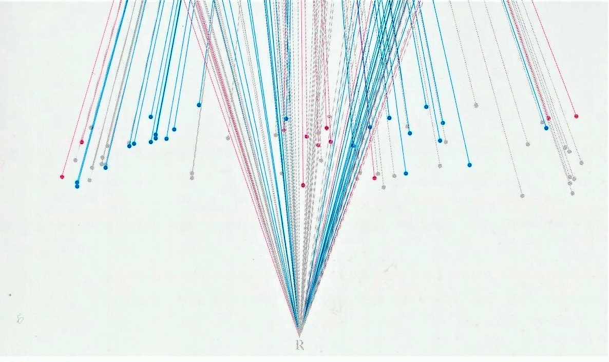
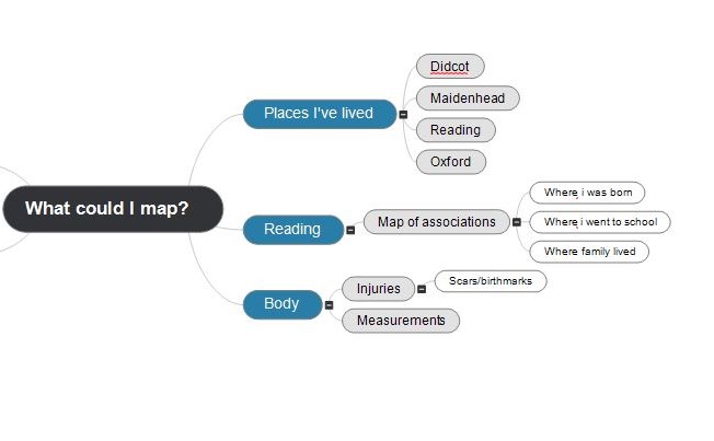
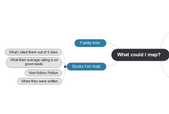
I drew up a mind-map to help me generate ideas for my final map. (A map about mapping). I used the ‘MindView’ program to create this map:
We use cookies on our website to give you the most relevant experience by remembering your preferences and repeat visits. By clicking “Accept All”, you consent to the use of ALL the cookies. However, you may visit "Cookie Settings" to provide a controlled consent.
This website uses cookies to improve your experience while you navigate through the website. Out of these, the cookies that are categorized as necessary are stored on your browser as they are essential for the working of basic functionalities of the website. We also use third-party cookies that help us analyze and understand how you use this website. These cookies will be stored in your browser only with your consent. You also have the option to opt-out of these cookies. But opting out of some of these cookies may affect your browsing experience.
Necessary cookies are absolutely essential for the website to function properly. These cookies ensure basic functionalities and security features of the website, anonymously.
Cookie
Duration
Description
cookielawinfo-checkbox-analytics
11 months
This cookie is set by GDPR Cookie Consent plugin. The cookie is used to store the user consent for the cookies in the category "Analytics".
cookielawinfo-checkbox-functional
11 months
The cookie is set by GDPR cookie consent to record the user consent for the cookies in the category "Functional".
cookielawinfo-checkbox-necessary
11 months
This cookie is set by GDPR Cookie Consent plugin. The cookies is used to store the user consent for the cookies in the category "Necessary".
cookielawinfo-checkbox-others
11 months
This cookie is set by GDPR Cookie Consent plugin. The cookie is used to store the user consent for the cookies in the category "Other.
cookielawinfo-checkbox-performance
11 months
This cookie is set by GDPR Cookie Consent plugin. The cookie is used to store the user consent for the cookies in the category "Performance".
viewed_cookie_policy
11 months
The cookie is set by the GDPR Cookie Consent plugin and is used to store whether or not user has consented to the use of cookies. It does not store any personal data.
Functional cookies help to perform certain functionalities like sharing the content of the website on social media platforms, collect feedbacks, and other third-party features.
Performance cookies are used to understand and analyze the key performance indexes of the website which helps in delivering a better user experience for the visitors.
Analytical cookies are used to understand how visitors interact with the website. These cookies help provide information on metrics the number of visitors, bounce rate, traffic source, etc.
Advertisement cookies are used to provide visitors with relevant ads and marketing campaigns. These cookies track visitors across websites and collect information to provide customized ads.